|
Week 3
|

|

|
|
|
Start :
Butte, Montana, USA
Finish :
Grand Teton NP, Wyoming, USA
Dates :
August 30th - Sept. 6th, 2022
Riding days :
6
Distance :
355 miles
|

|
|
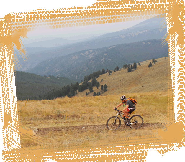
As we leave the mining town of Butte behind, we will
quickly return to the natural environment of the
Beaverhead-Deerlodge National
Park. You are never very
far from the Continental Divide in this streamless
country. The mixed landscape is of timbered hillsides,
eroded rocks and rolling grassland. Here the cows can
block your way on the undulating country roads before
you drop back down to Interstate 15. And then it’s only
up, up and up. The route follows a quad trail to
Fleecer Ridge,
a section that every Divide rider remembers; maybe it’s
the tough uphill, but definitely the neck breaking 38
per cent gradient downhill. Except for the most
courageous riders, this is a hike-a-bike section.
After this tricky descent, you can spin the pedals again
and cycle onwards through the lush forest to the saloon
in
Wise River.
This little village is surrounded by a half-million
acres of peaks, lakes and headwaters in the
Pioneer Mountains.
This is a village of rustic charm where the only rush
hour traffic is the local cattle drive that offers a
welcome retreat from the pace of life in the 21st
century.
|
|
The next dozen miles are well
paved but motorized traffic is still a rarity and you
are more likely to meet cowboys on their horses driving
cattle over the prairie in the traditional way. This is
the frontier – you are back in the Wild Wild West.
Along the way, you can treat yourself to a little
“luxury” when coming in “off the range” by soaking down
in the baths of the
Elkhorn Hot Springs
before continuing over the wide floodplains to one of
the best preserved ghost towns of the American West, the
old mining town of
Bannack.
Gold was discovered in the Grasshopper Creek in 1862,
where miners flooded into the area. The town became
known as the New Eldorado and the population eventually
swelled to some 10,000. Bannack is a good example how a
place can change from gold town into ghost town.
|

|
Not only is the town of Bannack
now empty but almost the whole surrounding territory is
empty save for some huge cattle ranches. Asphalt gives
way to gravel again when you come to the Medicine Lodge
Backcountry Byway around the
Tendoy Mountains.
It’s a scenic 50 miles stretch through the hidden
backcountry of southwestern Montana. You’ll get to see
the country exactly as it was experienced by the Indian
tribes and by the first mountain men. The Bureau of Land
Management (BLM) has placed very clear signs along this
section of the route reading
“impassable when wet”
- meaning that you must carry your bike if it rains. If
you ignore this warning, your bike will be weighed down
with wheel-clogging mud within a few yards and then you
will carry your bike and the mud! The Backcountry Byway
continues between the high rock cliffs of the
Big Sheep Canyon
where you will see lots of trout in the clear deep pools
of the creek bearing the same name.
Read more in the BROCHURE..
|


