


")
")
")
")
")
")
")
")
")
")
")
")
")
")
")
")
")
")
")
")
")
")
")
")
")
")
")
")
")
")
")
")
")
")
")
")
")
")
")
")
")
")
")
")
")
")
")
")
")
")
")
")
")
")
")
")
")
")
")
")
")
")
")
")
")
")
")
")
")
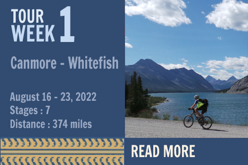
|
|
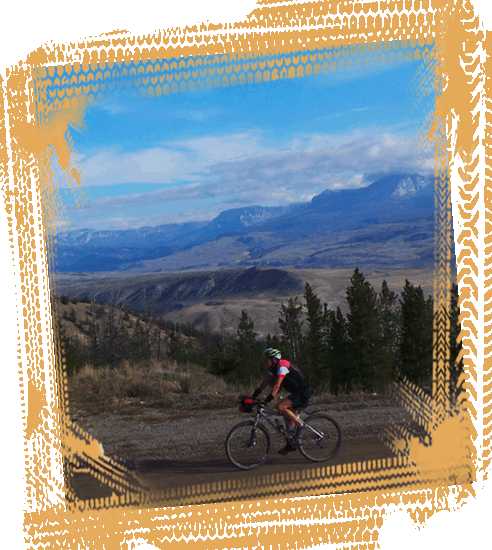
Week 4 : Teton NP -
Steamboat S. Start : Grand Teton National Park, Wyoming, USA Finish : Steamboat Springs, Colorado, USA Dates : September 6th - 14th, 2022 Riding days : 7 
The route takes us for 28 miles on a paved road through
the breathtaking mountain landscape of the Teton
National Park. The jagged peaks tower more than a mile
above the Jackson Hole Valley and form the youngest
mountain range in the Rocky mountains. |
|
 |
|
|
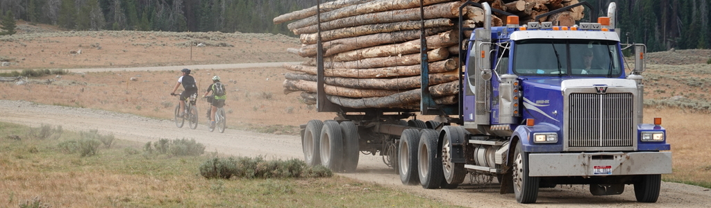
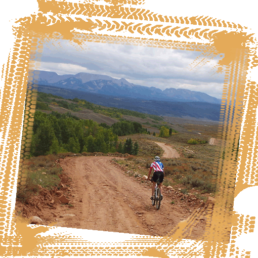
Now at the top of the world,
you have nothing to fear at Union Pass. The countryside
flattens out and you drop down via a bumpy trail into
the Upper Green River
Valley. With the Wind
River Mountains on your left and the Gros Ventre
Mountains on your right, you find your way to
Pinedale.
This town has a population of some 2,000 inhabitants and
is situated on the edge of the
Bridger Wilderness.
The area boasts the highest mountain in Wyoming, namely,
Gannett Peak at 13,804 feet which towers above the high
plains. Pinedale is an important hunting outfitting town
and is still one of the most authentic cowboy towns in
the West. It’s a pity that the old saloons in the centre
stand in sharp contrast to the new shopping centers at
the edge of town. Read more in the BROCHURE.. |
 |
 |
 |
 |
|
 |
 |
 |